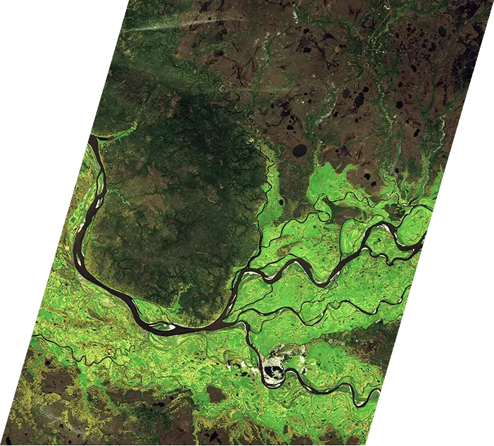
WE ARE REMOVING THE BARRIERS TO ACCESSING SATELLITE IMAGERY AS UYDUSHOP
We believe that everyone should have the opportunity to make a difference using Earth observation data. We know that the hardest part is getting the data from space to the hands of those who need it, so we have created an end-to-end platform to make satellite imagery more accessible to everyone. UyduShop is ready for you!

Simplify Satellite Imagery Integration

Free Prototype
Access free low-resolution satellite imagery with UyduShop, work on your models or create a concept without incurring any costs.

Analysis-Ready Data
Get pre-cropped, orthorectified satellite imagery. Access processing algorithms and download your data as GeoTIFF or PNG.

Error Handling
UyduShop provides automated error handling responses via API to help you identify and resolve issues.

Better Results
To get better results, set budget limits, choose the satellite image resolution, and make sure your area of interest is fully covered.


