

Earth observation mission satellites allow ordering new satellite images from a specific satellite. To task a satellite, the coordinates of the Area of Interest (AOI) and the time interval are transmitted to the satellite provider. If weather conditions permit, the satellite captures images of the specified region during the given time frame. The images obtained from the tasked satellite are then provided to the customer in the designated output format. Tasking satellite images offers a customized experience where you can specify the exact location, time frame, and resolution of the area covered in the images.
Earth observation mission satellites can be used for various purposes, such as monitoring environmental conditions, tracking weather patterns, or studying the effects of climate change. They can also monitor human activities like mapping urban areas or measuring traffic congestion.
Different types of mission satellites are designed to perform specific functions. However, all mission satellites share common features such as the ability to receive commands from ground controllers and transmit data back to Earth.
Nowadays, satellite imagery plays a critical role in various sectors. These images, used in areas such as environmental monitoring, urban planning, agriculture, and communication, support decision-making processes. At UyduShop, we provide a web platform that allows our users to order satellite images easily, online, and directly, enabling them to access images tailored to their needs.
So, how is satellite tasking done through UyduShop?
- Sign up on uydushop.com.tr. Activate your account using the activation link sent to your email.
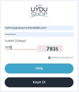
- Log in to open the UyduShop dashboard.
- ”Sipariş Oluştur” tab opens
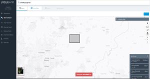
- Select the relevant area or upload a kml/geojson file. Then, click the ”Sonraki” button.
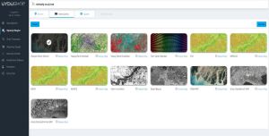
- Select the desired map output (all map outputs can be downloaded after the order is completed). Then, click the ”Sonraki” button.
- Enter the operation name in the Settings tab. Select the desired dates for the imagery from the ”Tarih Aralığı” section.
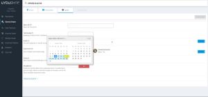
- In the Interval section, select the frequency of data collection (daily/weekly/bi-weekly/monthly/every two months) within the chosen date range.
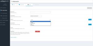
- Select the desired resolution. If a custom resolution is needed, click the ”Özelleştir” button to enter the resolution information.
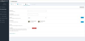
- The maximum amount you will pay for this order is displayed in the Fee section. Payment can be made via bank transfer/EFT and credit card.
- If a mosaic image composed of several captures taken at different times is desired, you can request it by entering the date range.
Hilal Yılmaz – Surveying Engineer, MSc






