
When we look at our world from the sky, we encounter a landscape filled with a series of complex processes and events. Some of these can be natural disasters such as earthquakes, floods, forest fires, environmental pollution, wars, large construction activities, agricultural activities, and urban development. Understanding and managing this landscape requires the provision of images in various application areas. The Sentinel-2 Satellite, part of the European Space Agency’s (ESA) Copernicus Program, was planned and put into operation as a prominent tool to meet this need. Let’s take a closer look at the usage areas and applications of Sentinel-2.
Agriculture and Vegetation Monitoring:
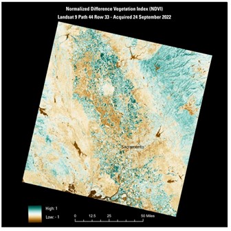
One of the most important usage areas of Sentinel-2 is agriculture and vegetation monitoring. The satellite provides images to monitor factors such as plant health, growth stages, plant species, and productivity. This information is used to optimize agricultural management processes, increase productivity, and ensure more efficient use of natural resources.
Forest and Natural Area Monitoring:
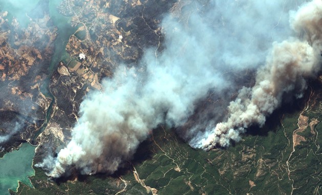
Factors such as forest fires, deforestation, and the use of natural areas can pose major threats to the health of natural ecosystems. Sentinel-2 is an important tool for monitoring forest areas and detecting changes. Factors such as forest fires, tree cutting, and changes in natural habitats can be monitored and evaluated by Sentinel-2.
Water Resources and Quality Monitoring:
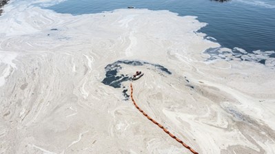
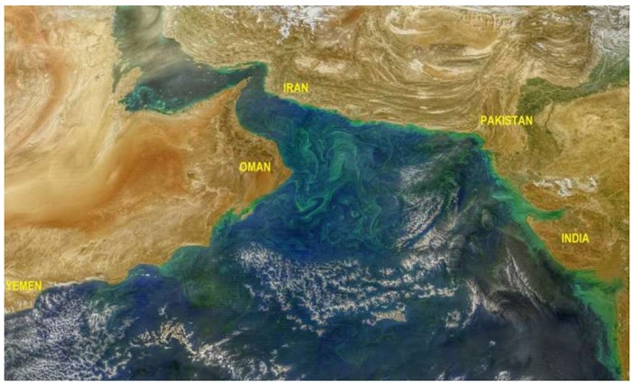
The sustainability and quality of water resources are of vital importance for human life and environmental health. Sentinel-2 uses multiple spectral bands that can be benchmarked to monitor water resources and assess water quality. This provides important information to identify sources of pollution, optimize the use of water, and ensure the protection of water resources.
Monitoring of Natural Disasters and Damage Assessment:
Natural disasters are emergencies that require rapid and effective intervention. Sentinel-2 is used to monitor the effects of floods, hurricanes, earthquakes, and other natural disasters and to assess damage. This information helps disaster response teams to be in the right place at the right time, helping to minimize damage.
Urban Planning and Development Monitoring:
Urban areas are constantly growing and changing dynamic environments. Sentinel-2 provides an important tool for urban planning experts to monitor city development, analyze urban expansion models, and manage infrastructure projects. This is critical to increasing the sustainability of cities and improving the quality of life.
The 10-meter resolution Sentinel-2 satellite is an important source of information for a range of critical areas. In areas such as agriculture, environment, disaster management, water resources, and urban planning, the images provided by Sentinel-2 are valuable tools for decision-makers and experts. This data plays an important role in a more sustainable and secure future worldwide.
You can access Sentinel-2 satellite images for free from our website UyduShop!