
We continue our blog posts on our UyduShop portal, which provides both archived and new satellite images. This week, we will connect the past with the present. Historical aerial photographs, which were used before satellite images, have a history that goes back to the beginning of the 20th century. The Wright Brothers invented and flew the first aircraft, the Wright Flyer, which made the first ‘heavier-than-air sustained and controlled flight’ in 1903. The first use of the aircraft in photogrammetry was in 1910 at Huffman Prairie Flying Field in Ohio.
In Turkiye, the General Directorate of Maps, now known as the General Directorate of Maps, has been producing basic maps at a scale of 1/5000 using photogrammetric methods by taking pictures from the air since 1936 for defense and development purposes, and by the General Directorate of Land Registry and Cadastre since 1955 for the purpose of cadastre.
Both institutions have digitized and coordinated the archive of historical aerial photographs and made them available to the public.

Archive Aerial Photograph of Istanbul, 1952 (General Directorate of Mapping Archive)
Satellite images that can be used for civilian purposes with the beginning of image acquisition, which is one of the first applications of space technologies; starting with LANDSAT-1 in 1972 and reaching LANDSAT-7 today, starting with SPOT-1 in 1986, SPOT-2 at the beginning of 1990 and continuing as SPOT-2 and later 3, 4, 5, and since 1999, 1 m. resolution satellite images such as IKONOS, QuickBird, 50 cm. resolution satellite images such as IKONOS, QuickBird, Pléiades 1A/1B, 50 cm. resolution satellite images such as SkySat and 30 cm. resolution satellite images such as Pléiades Neo have not only attracted the attention of all mankind today, but have also played and are playing a role in triggering the desire to benefit from them.
You can search the high-resolution archive satellite images of satellites such as Sentinel, PlanetScope, Spot, Pléiades, SkySat, Kompsat, TripleSat, Pléiades Neo since the launch date of the above-mentioned satellites online through our portal https://uydushop.com.tr and you can obtain them without any intermediary and within hours. You can also request new images.

léiades Neo 30 Cm Post-Earthquake, Osmaniye, Satellite Image
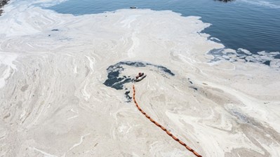
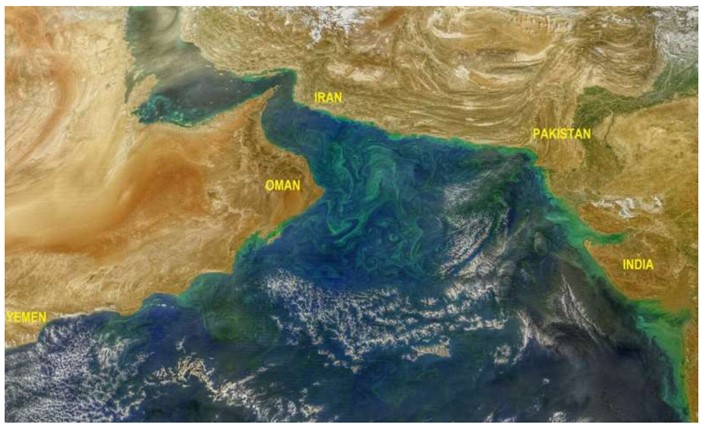
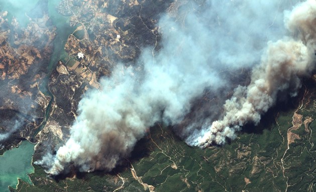
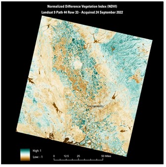
With archived satellite images of varying geometric and radiometric resolutions of the same area, you can conduct past assessments and perform monitoring and evaluation activities using at least two images or temporal image series. These results can be utilized in expert consultancy and media projects.
Archived satellite images, which help visualize the past and compare it with the present through time series, are valuable in various applications:
– Environmental Monitoring and Assessments
– Expert Witness Services in Property Disputes
– Expert Witness Services in Other Legal Cases
– Real Estate Appraisals
– Monitoring Construction Activities
– Land and Agricultural Vegetation Assessment and Production Trend Analysis
– Natural Hazard Risk Monitoring and Assessment
– Forestry Monitoring and Evaluation
– 3D Feature Extraction and Comparison of Past Periods
– Comparative Media Reporting
The advantages of these data, which bridge the past and present, are numerous. However, they are currently underutilized in our country.
Accessing free archive satellite imagery is an invaluable resource for various purposes, from urban planning to environmental monitoring. While newer satellite imagery often takes precedence, the value of old satellite imagery should not be underestimated. Historical data captured by satellites provides a unique perspective, allowing researchers to track changes over time and analyze trends. By comparing old satellite imagery with more recent data, we can gain insights into long-term environmental changes, urban development, and natural phenomena. Thus, incorporating both free archive satellite imagery and newer data sets enhances the depth and accuracy of analyses, contributing to informed decision-making and comprehensive research efforts.
We hope you found this blog post informative. If you have any questions, feel free to leave them in the comments, and we’ll be happy to answer.
Have a great week!
Sedat BAKICI